Invest in Prime Pontefract Land for Growth
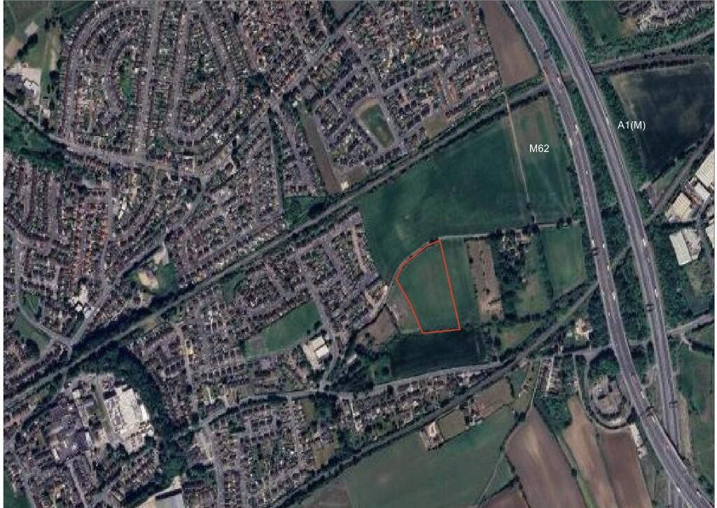
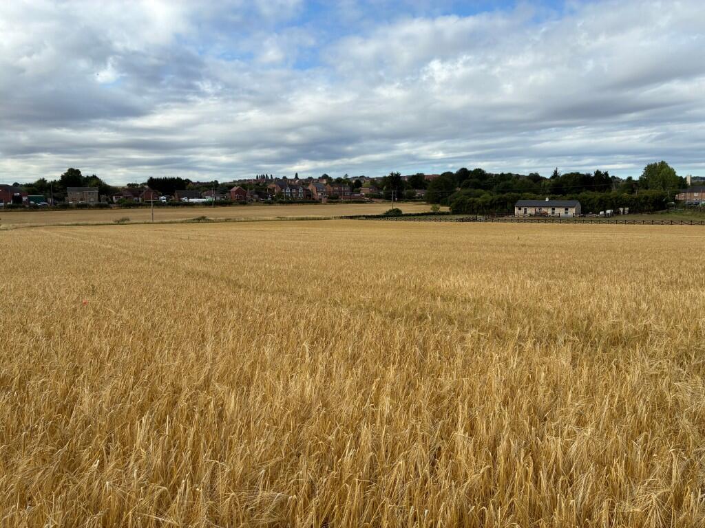
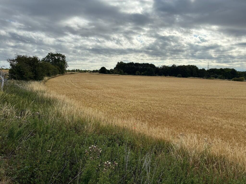
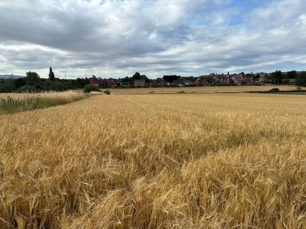
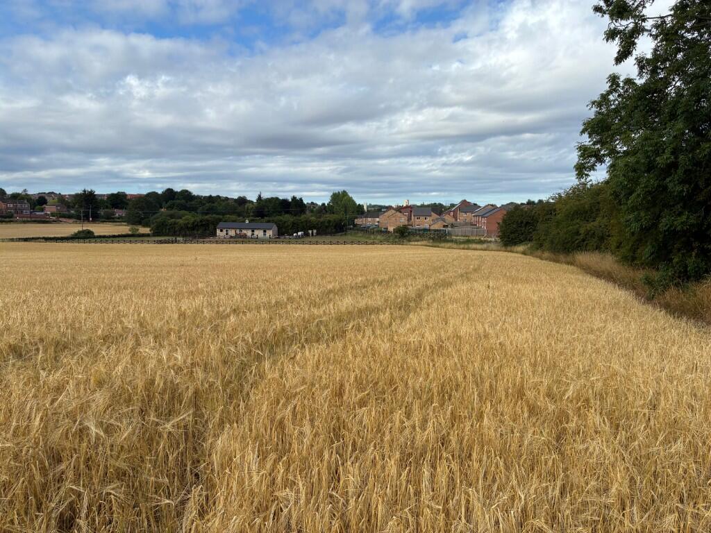
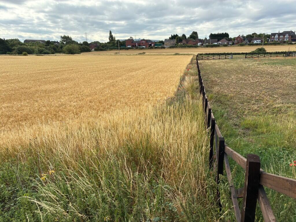
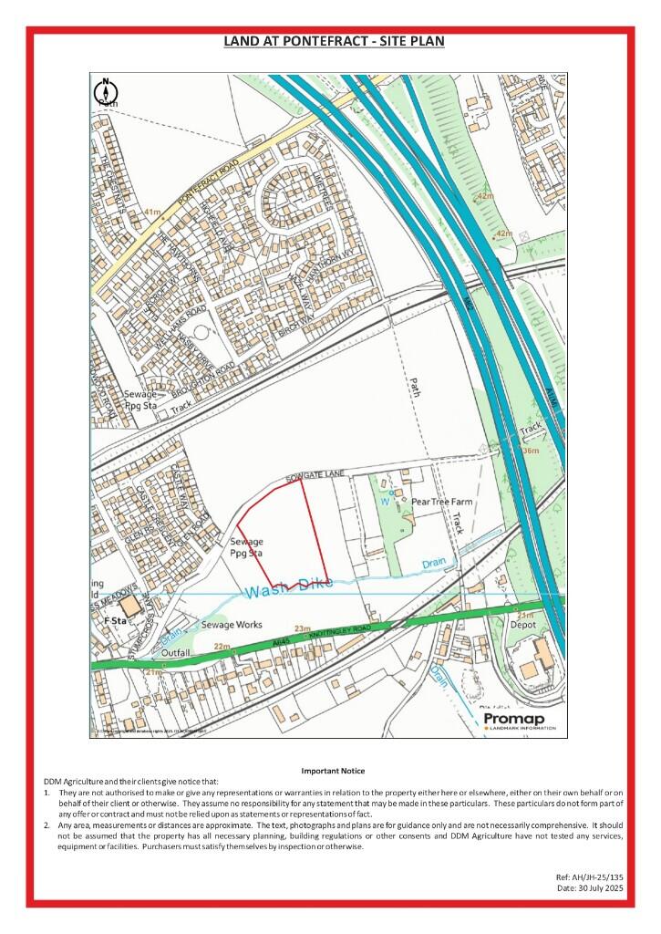
This prime block of arable land is strategically located to the north east of Pontefract in West Yorkshire, offering excellent accessibility directly off Sowgate Lane. The area’s proximity to the town provides convenient access to local amenities, transport links, and urban facilities, making it an attractive spot for potential investors. With ongoing regeneration in the region, including improvements in infrastructure and community developments, this location is poised for significant value appreciation in the coming years. The land’s position in a growing area of West Yorkshire enhances its appeal as a long-term investment opportunity.
Spanning approximately 200,812 square feet (18,656 square meters), the land is classified as Grade 2 agricultural soil from the ‘Aberford’ Association, known for its well-drained, calcareous fine loamy characteristics over limestone. This makes it highly suitable for cereals, sugar beet, potatoes, and limited permanent grassland, providing strong agricultural yields. As a registered parcel on the Rural Payments Agency Rural Land Register, it has previously activated entitlements under the Basic Payment Scheme, adding to its value. Investors will benefit from its freehold tenure and vacant possession upon completion, with no known outgoings or tenantright considerations, ensuring a straightforward acquisition.
The land holds substantial investment potential due to its strategic positioning for future alternative uses, subject to obtaining necessary planning consents. Although currently designated as Green Belt in the Wakefield Metropolitan District Council Local Plan (adopted 2024), recent residential developments on the north western side of Sowgate Lane indicate a shifting landscape towards infill opportunities. This could drive significant value growth, especially with regional regeneration projects enhancing connectivity and economic activity in Pontefract and surrounding areas. The site’s reasonable shape and direct access further support its redevelopment prospects, making it a compelling choice for investors seeking capital appreciation through potential residential or other developments.
Key investment advantages include existing development clawback provisions: a 20-year clause from 2021 at 12% uplift in value in favor of the previous owner, and a new 15-year overage from the vendors at 12% uplift upon planning permission or disposal. These clauses underscore the land’s recognized potential for value enhancement. The property is sold VAT exclusive, with the purchaser indemnifying any subsequent VAT, and it lies within a Nitrate Vulnerable Zone. There are wayleaves for overhead lines with Northern Powergrid, and the land is subject to existing easements and rights of way. No energy performance certificate (EPC) is applicable as it’s undeveloped land, and no parking spaces are designated, but the site’s accessibility supports future adaptations.
This investment stands out for its blend of immediate agricultural utility and long-term development upside, bolstered by nearby urban expansion and no dilapidations or deductions. Early entry is permitted post-contract exchange with a 20% deposit, facilitating prompt utilization. Viewing is available at reasonable times with sale particulars, and interested parties should consult Wakefield Metropolitan District Council for planning enquiries. Overall, this land represents a robust investment in a regenerating area with strong potential for future value growth through strategic redevelopment.